Phoenix Sky Harbor International Airport (PHX) now offers upgraded digital maps featuring real-time point-of-interest data, dynamic terminal directories, and intuitive, user-friendly mobile navigation, as part of a deal with LocusLabs to provide wayfinding tools at the airport.
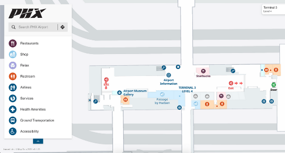
The Sky Harbor website provides interactive LocusLabs maps accessible from any web browser on any smartphone, tablet or computer, featuring shops, restaurants, information kiosks and other crucial amenities, as well as useful information on health and safety enabling passengers to navigate the terminal confidently.
“COVID- 19 intensified our efforts to help passengers feel protected and well-prepared for travel, in part by delivering critical health and safety information whenever and wherever they need to see it,” said Michael Fox, vice president of product for LocusLabs. “From before passengers arrive at the airport, to the end of their travel day, we want them to feel confident about flying again and enjoy their travel experiences.”
PHX joins Austin Bergstrom International (AUS) and Louis Armstrong New Orleans International (MSY) airports in launching LocusLabs wayfinding for travelers.